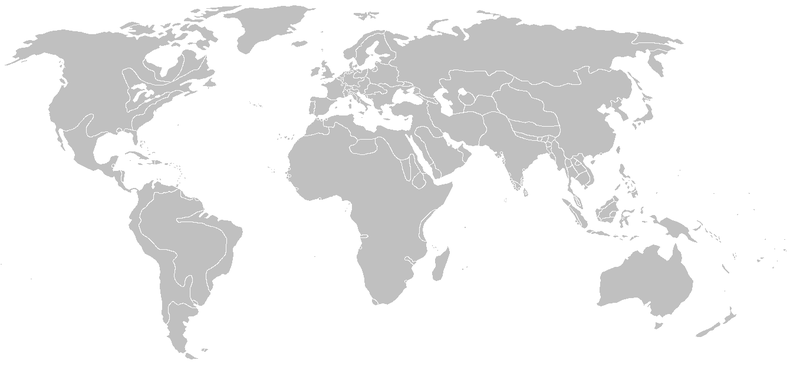
File:BlankMap-World-1710.png
Appearance

Size of this preview: 800 × 370 pixels. Other resolutions: 320 × 148 pixels | 640 × 296 pixels | 1,357 × 628 pixels.
Original file (1,357 × 628 pixels, file size: 43 KB, MIME type: image/png)
File history
Click on a date/time to view the file as it appeared at that time.
| Date/Time | Thumbnail | Dimensions | User | Comment | |
|---|---|---|---|---|---|
| current | 18:47, 13 April 2013 |  | 1,357 × 628 (43 KB) | Fry1989 | vandalism |
| 16:02, 13 April 2013 |  | 1,357 × 628 (43 KB) | Mouh2jijel | Reverted to version as of 08:31, 13 April 2013 | |
| 14:41, 13 April 2013 |  | 1,357 × 628 (43 KB) | Omar-toons | Reverted to version as of 01:35, 13 July 2012 rv: fixing borders according to File:Algeria, Morocco and Tunis (XIX century).jpg and File:Guillaume Delisle North West Africa 1707.jpg | |
| 08:31, 13 April 2013 |  | 1,357 × 628 (43 KB) | Mouh2jijel | Reverted to version as of 07:38, 9 April 2013 | |
| 06:22, 13 April 2013 |  | 1,357 × 628 (43 KB) | Omar-toons | Reverted to version as of 01:35, 13 July 2012 rv unjustified revert | |
| 07:38, 9 April 2013 |  | 1,357 × 628 (43 KB) | Mouh2jijel | Reverted to version as of 06:45, 12 December 2009 | |
| 01:35, 13 July 2012 |  | 1,357 × 628 (43 KB) | Omar-Toons | Touat/Gourara to Morocco | |
| 06:45, 12 December 2009 |  | 1,357 × 628 (43 KB) | KarnRedsun | Clear the colour. | |
| 12:57, 9 December 2009 |  | 1,357 × 628 (43 KB) | KarnRedsun | Blank map of the world from 1710, derived from Image:WaroftheSpanishSuccession.png. {{Historical blank world maps}} |
File usage
No pages on the English Wikipedia use this file (pages on other projects are not listed).
Global file usage
The following other wikis use this file:
- Usage on fr.wikipedia.org


