
File:Greenland 42.74746W 71.57394N.jpg

Size of this preview: 800 × 599 pixels. Other resolutions: 320 × 240 pixels | 640 × 479 pixels | 1,024 × 766 pixels | 1,280 × 958 pixels.
Original file (1,280 × 958 pixels, file size: 148 KB, MIME type: image/jpeg)
| This is a file from the Wikimedia Commons. Information from its description page there is shown below. Commons is a freely licensed media file repository. You can help. |
Summary
| Description |
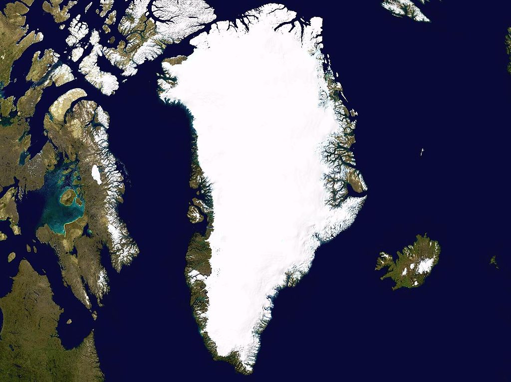
English: Satellite photo highlighting the island of Greenland, as well as Iceland and the Canadian Arctic Archipelago. |
| Date | May 17, 2005 |
| Source | worldwind.arc.nasa.gov |
| Author | NASA / Ames Research Center |
| Camera location | | View this and other nearby images on: OpenStreetMap |
|---|
| This image is in the public domain because it is a screenshot from NASA’s globe software World Wind using a public domain layer, such as Blue Marble, MODIS, Landsat, SRTM, USGS or GLOBE.
|
 |
File history
Click on a date/time to view the file as it appeared at that time.
| Date/Time | Thumbnail | Dimensions | User | Comment | |
|---|---|---|---|---|---|
| current | 09:42, 17 May 2005 | | 1,280 × 958 (148 KB) | Rex | Greenland NASA World Wind screenshot. {{PD-USGov-NASA}} Category:Greenland Category:Islands |
File usage
The following 4 pages use this file:
Global file usage
The following other wikis use this file:
- Usage on af.wikipedia.org
- Usage on als.wikipedia.org
- Usage on ar.wikipedia.org
- Usage on arz.wikipedia.org
- Usage on ast.wikipedia.org
- Usage on ba.wikipedia.org
- Usage on be-tarask.wikipedia.org
- Usage on be.wikipedia.org
- Usage on bg.wikipedia.org
- Usage on ca.wikipedia.org
- Usage on ceb.wikipedia.org
- Usage on ce.wikipedia.org
- Usage on csb.wikipedia.org
- Usage on cs.wikipedia.org
- Usage on da.wikipedia.org
- Grønland
- Wikipedia:Ugens artikel/2006
- Wikipedia:Ugens artikel/Uge 24, 2006
- Bruger:VicVal/Årets dage kort
- Wikipedia:Årets dage kort/Oktober
- Wikipedia:Årets dage kort/5. oktober
- Grønlands Nationalpark
- Grønlands geografi
- Grønlands indlandsis
- Bruger:Steenth/Autoliste/Kongeriget Danmark
- Bruger:Steenth/Autoliste/Wikiprojekter til emne
- Usage on da.wikibooks.org
- Usage on de.wikipedia.org
View more global usage of this file.