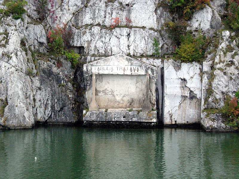
File:RC174-Tabula Traiana.JPG
Appearance

Size of this preview: 800 × 600 pixels. Other resolutions: 320 × 240 pixels | 640 × 480 pixels | 1,024 × 768 pixels | 1,280 × 960 pixels | 2,592 × 1,944 pixels.
Original file (2,592 × 1,944 pixels, file size: 1.77 MB, MIME type: image/jpeg)
File history
Click on a date/time to view the file as it appeared at that time.
| Date/Time | Thumbnail | Dimensions | User | Comment | |
|---|---|---|---|---|---|
| current | 02:51, 4 January 2020 |  | 2,592 × 1,944 (1.77 MB) | Veikk0.ma | Levels. |
| 19:50, 27 October 2008 |  | 2,592 × 1,944 (1.52 MB) | Rlichtefeld | {{Information |Description={{en|1=Photo of the Tabula Traiana plaque that is found in the Iron Gate gorge of the Danube on the Serbian coast. Was erected to commemorate the defeat of the Dacian kings by the Romans}} |Source=Own work by uploader |Author=[ |
File usage
The following 6 pages use this file:
Global file usage
The following other wikis use this file:
- Usage on ca.wikipedia.org
- Usage on es.wikipedia.org
- Usage on et.wikipedia.org
- Usage on fr.wikipedia.org
- Usage on he.wikipedia.org
- Usage on hr.wikipedia.org
- Usage on hu.wikipedia.org
- Usage on id.wikipedia.org
- Usage on it.wikivoyage.org
- Usage on ka.wikipedia.org
- Usage on ko.wikipedia.org
- Usage on lt.wikipedia.org
- Usage on lv.wikipedia.org
- Usage on mk.wikipedia.org
- Usage on ro.wikipedia.org
- Usage on ru.wikipedia.org
- Usage on sh.wikipedia.org
- Usage on sl.wikipedia.org
- Usage on sq.wikipedia.org
- Usage on sr.wikipedia.org
- Usage on tr.wikipedia.org
- Usage on uz.wikipedia.org
