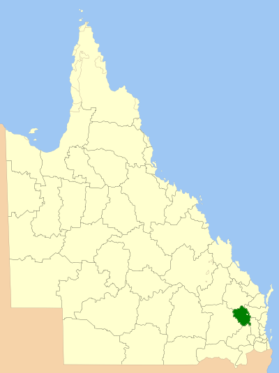
File:South burnett LGA Qld 2008.png
Appearance
South_burnett_LGA_Qld_2008.png (400 × 535 pixels, file size: 52 KB, MIME type: image/png)
File history
Click on a date/time to view the file as it appeared at that time.
| Date/Time | Thumbnail | Dimensions | User | Comment | |
|---|---|---|---|---|---|
| current | 00:35, 8 July 2008 |  | 400 × 535 (52 KB) | Roke~commonswiki | {{Information |Description=Location of the Local Government Area in Queensland |Source=self made |Date=March 2008 |Author=self |Permission=GNU Free Documentation License |other_versions= }} {{GF |
File usage
The following 39 pages use this file:
- Alice Creek, Queensland
- Barker Creek Flat
- Benarkin North, Queensland
- Blackbutt North
- Boyneside, Queensland
- Bullcamp, Queensland
- Chahpingah, Queensland
- Charlestown, Queensland
- Chelmsford, Queensland
- Cobbs Hill, Queensland
- Dangore, Queensland
- Ellesmere, Queensland
- Fairdale, Queensland
- Ficks Crossing, Queensland
- Glenrock, Queensland
- Greenview, Queensland
- Hodgleigh
- Kunioon, Queensland
- Local government areas of Queensland
- Marshlands, Queensland
- Mcgrory Falls
- Melrose, Queensland
- Mount McEuen, Queensland
- Mp Creek, Queensland
- Neumgna
- Oakdale, Queensland
- Runnymede, Queensland
- Sandy Ridges
- Silverleaf, Queensland
- South Burnett Region
- South Nanango
- Sunny Nook
- Teelah
- Warnung
- Wigton, Queensland
- Wilkesdale, Queensland
- Wooroonden
- Wyalla, Queensland
- Template:SouthBurnett-geo-stub
Global file usage
The following other wikis use this file:
- Usage on de.wikipedia.org
- Usage on fr.wikipedia.org
- Usage on it.wikipedia.org
- Usage on ru.wikipedia.org
- Usage on sv.wikipedia.org
- Usage on vi.wikipedia.org
- Usage on www.wikidata.org
- Usage on zh.wikipedia.org


