Geneina Airport
Appearance
Geneina Airport | |||||||||||||||
|---|---|---|---|---|---|---|---|---|---|---|---|---|---|---|---|
| Summary | |||||||||||||||
| Airport type | Public / Military | ||||||||||||||
| Serves | Geneina, Sudan | ||||||||||||||
| Elevation AMSL | 2,651 ft / 808 m | ||||||||||||||
| Coordinates | 13°29′00″N 022°28′00″E / 13.48333°N 22.46667°E | ||||||||||||||
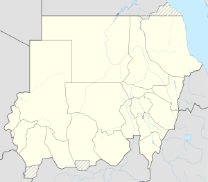
| Map | |||||||||||||||
 | |||||||||||||||
| Runways | |||||||||||||||
| |||||||||||||||
Geneina Airport (IATA: EGN, ICAO: HSGN) is an airport serving Geneina, in the Darfur region of Sudan.
Airlines and destinations
[edit]| Airlines | Destinations |
|---|---|
| Badr Airlines | Khartoum (suspended)[3] |
| Sudan Airways | Khartoum (suspended) |
Geneina Air Base
[edit]Geneina hosts a Sudanese Air Force Helicopter Squadron operating the Mil Mi-8.[4]
References
[edit]- ^ Airport information for HSGN at Great Circle Mapper.
- ^ Airport information for Geneina Airport at Transport Search website.
- ^ January 2014 Timetable,http://www.badrairlines.com/index.php?option=com_wrapper&view=wrapper&Itemid=16
- ^ "Orbats".
External links
[edit]![]() This article incorporates public domain material from the Air Force Historical Research Agency
This article incorporates public domain material from the Air Force Historical Research Agency

