Tuolumne Grove
| Tuolumne Grove | |
|---|---|
 Tuolumne Grove | |
| Map | |
| Geography | |
| Location | Tuolumne County, California, United States |
| Coordinates | 37°46′09″N 119°48′36″W / 37.76917°N 119.81000°W |
| Elevation | 5,600–5,900 ft (1,700–1,800 m) |
| Ecology | |
| Dominant tree species | Sequoiadendron giganteum |
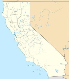
Tuolumne Grove is a giant sequoia grove located near Crane Flat in Yosemite National Park, at the southeastern edge of the Tuolumne River watershed.[1] It is about 16 miles (26 km) west of Yosemite Village on Tioga Pass Road. The grove contains many conifers, including a few Sequoiadendron giganteum as well as Abies concolor and Pinus lambertiana.
A small grove of about 25 large trees, covering around 20 acres, includes the Dead Giant, which measures 29 1/2 feet in diameter at its base. In 1878, a tunnel was cut through the Dead Giant, allowing a road to pass through it.[2][3] The Dead Giant was the first tunnel tree. [4]
Although trees in the Tuolumne Grove were likely first seen by members of the Joseph Walker Expedition in 1833, the grove was officially discovered on May 10, 1858, by a group from Garrote, California, led by Dr. J. L. Cogswell and eight companions. They originally named the tree, now known as the Dead Giant, “King Solomon’s Temple.”[5]
Gallery
[edit]-
Tuolumne Grove Trailhead
-
The largest tree in Tuolumne Grove
-
The Dead Giant
-
The roots of a fallen giant sequoia.

See also
[edit]- List of giant sequoia groves
- Merced Grove - a nearby giant sequoia grove
References
[edit]- ^ "Tuolumne Grove". Geographic Names Information System. United States Geological Survey, United States Department of the Interior.
- ^ "Yosemite Giant Sequoias". National Park Service. Retrieved 2008-05-10.
- ^ "Tuolumne Grove". www.redwoodhikes.com. Retrieved 2019-11-11.
- ^ Garrison Frost (May 12, 2023). "The Strange History of the Redwood Tunnel Trees". Save the Redwoods League.
- ^ McFarland, James W. (1949). "The Three Giant Sequoia Groves". A Guide to the Giant Sequoias of Yosemite National Park. Retrieved 28 September 2024.
External links
[edit] Media related to Tuolumne Grove at Wikimedia Commons


